
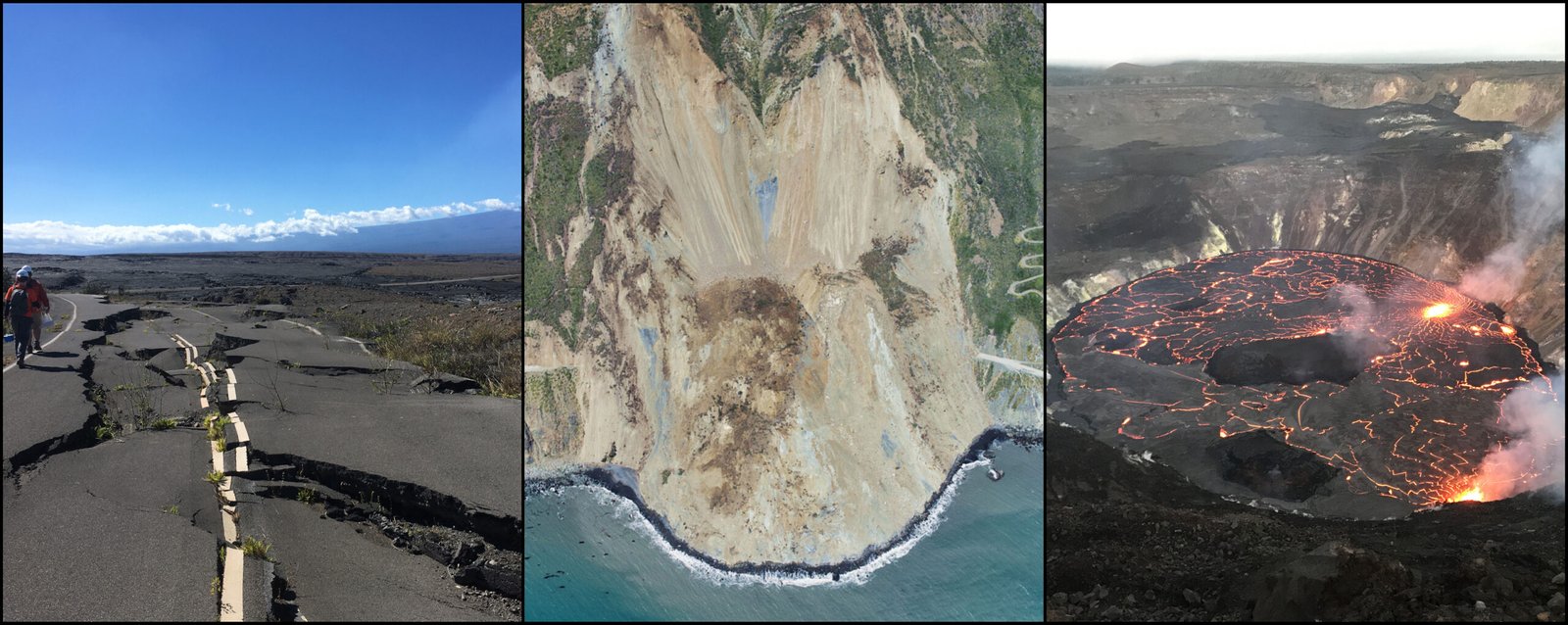
An online tool maps measurements and enables non-experts to understand earthquakes, subsidence, landslides, and other types of land motion. NASA is collaborating with the Alaska Satellite Facility in Fairbanks to create a powerful web-based tool that will show the movement of land across North America down to less than an inch…
Read More